homecoming
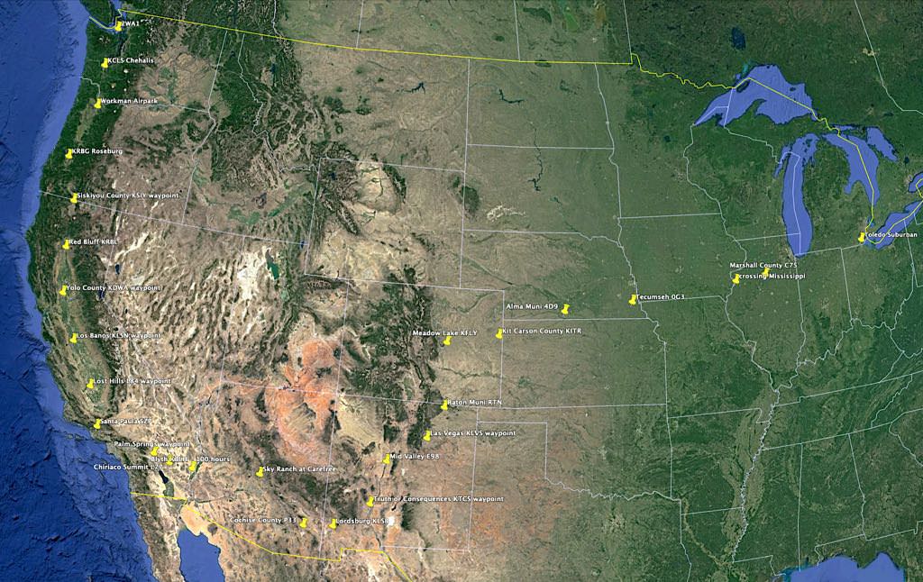
route of flight home, east to west to north
Sept 22-27, 2018
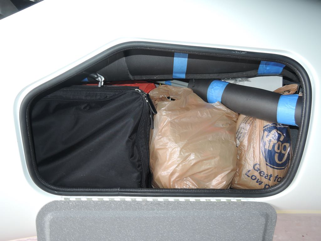
whatever there was to pack, it fit
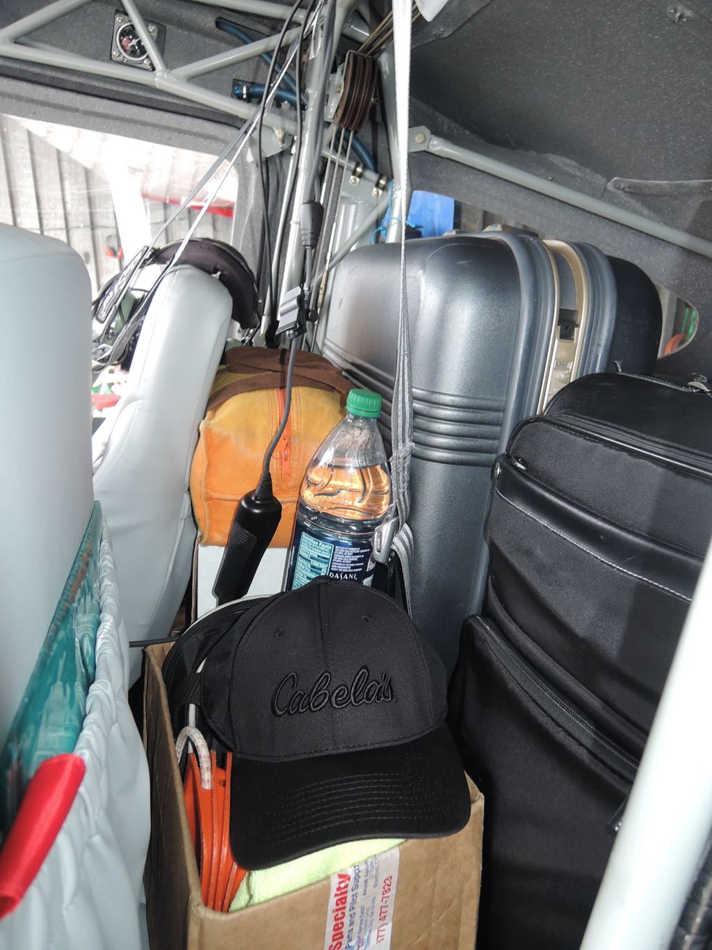
full tanks and 157 lb to spare
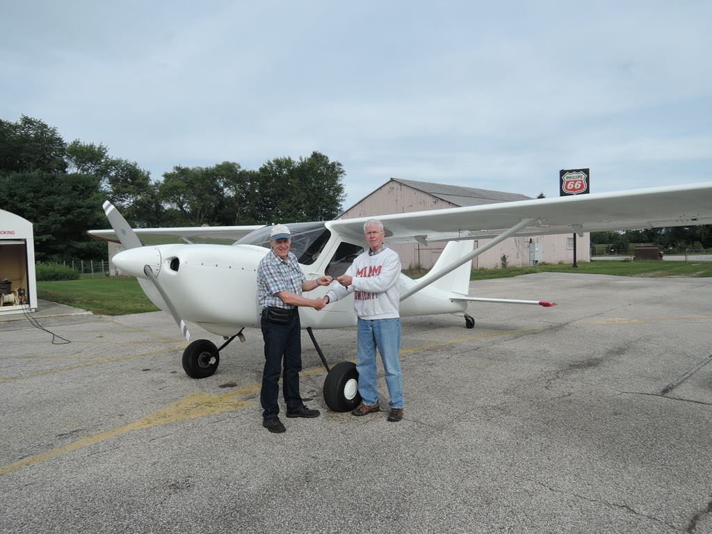
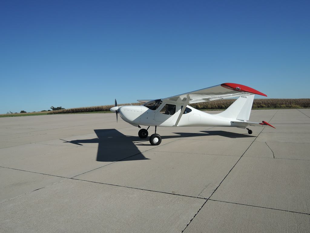
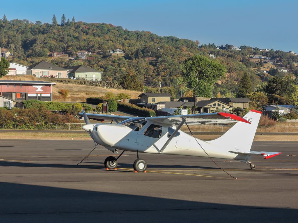
Denny Lawrence (right) hands keys over to Maple's new owner.
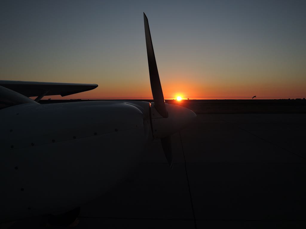
first solo flight, departing KDUH - Toledo Suburban, MI

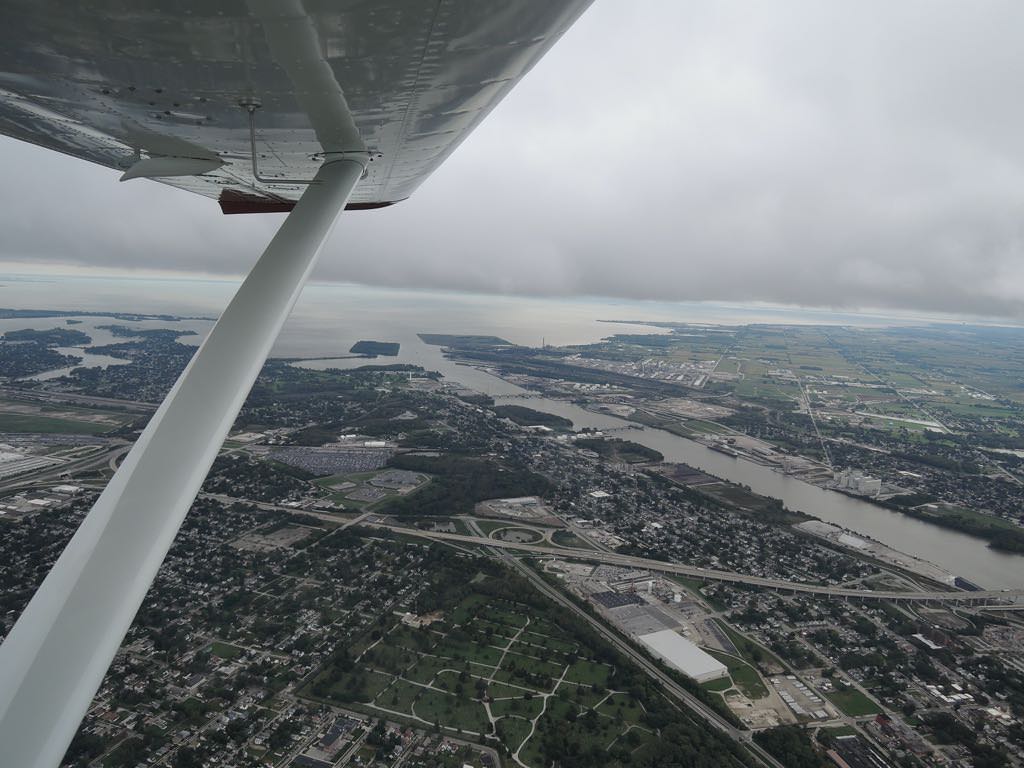
looking SE over Maumee River, Toledo, OH
for first several hours, flew Maple under 100 kts @ 2000 RPM
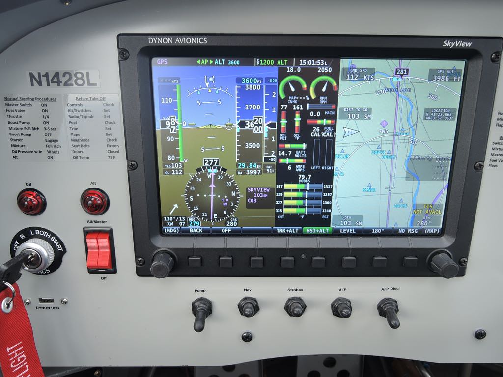
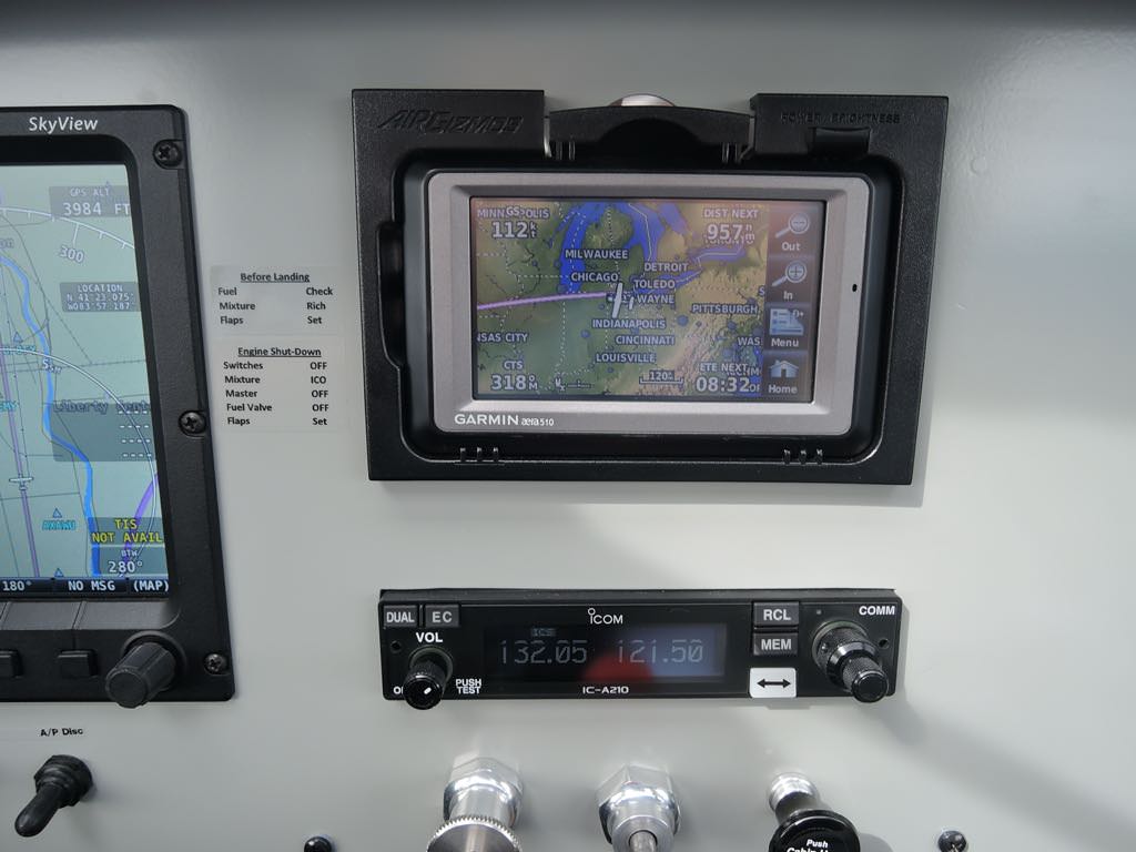
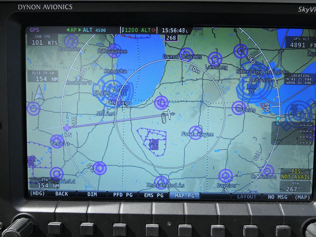
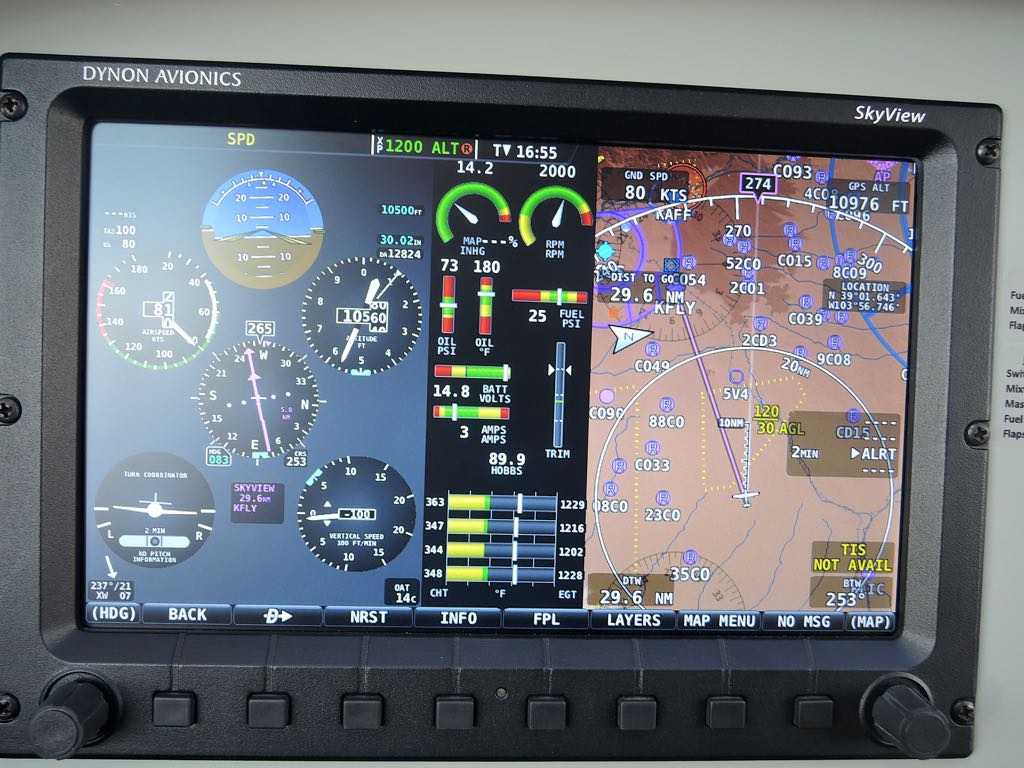
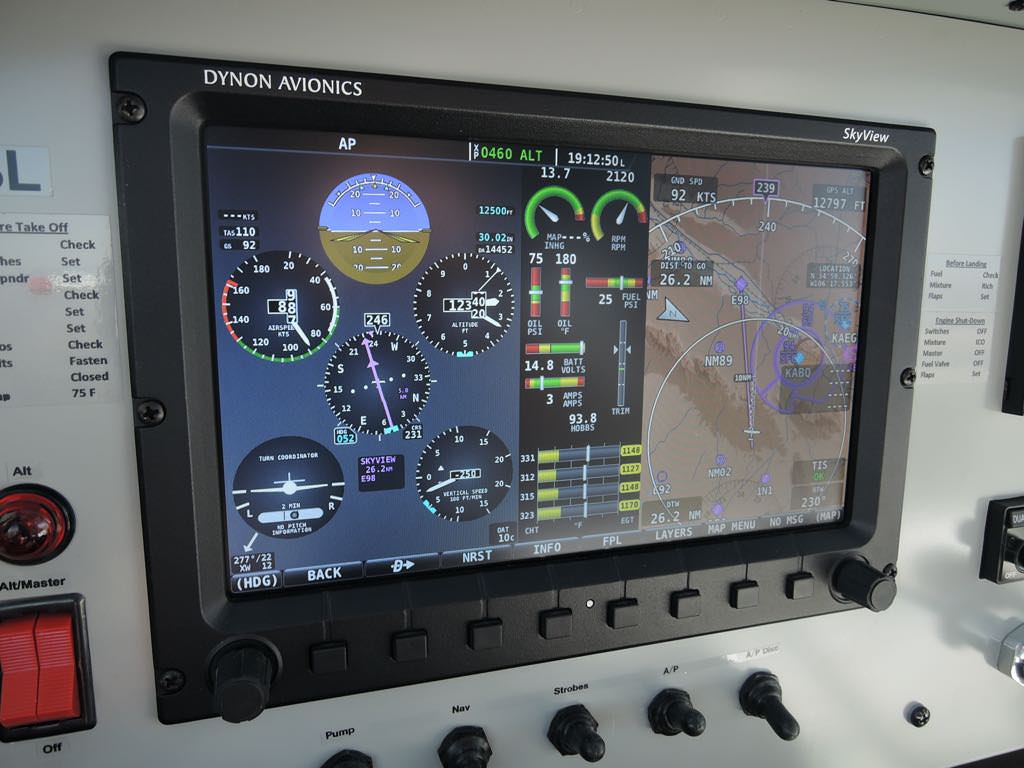
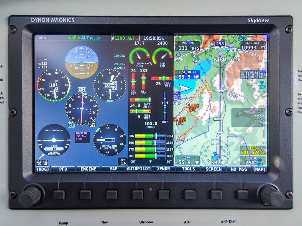
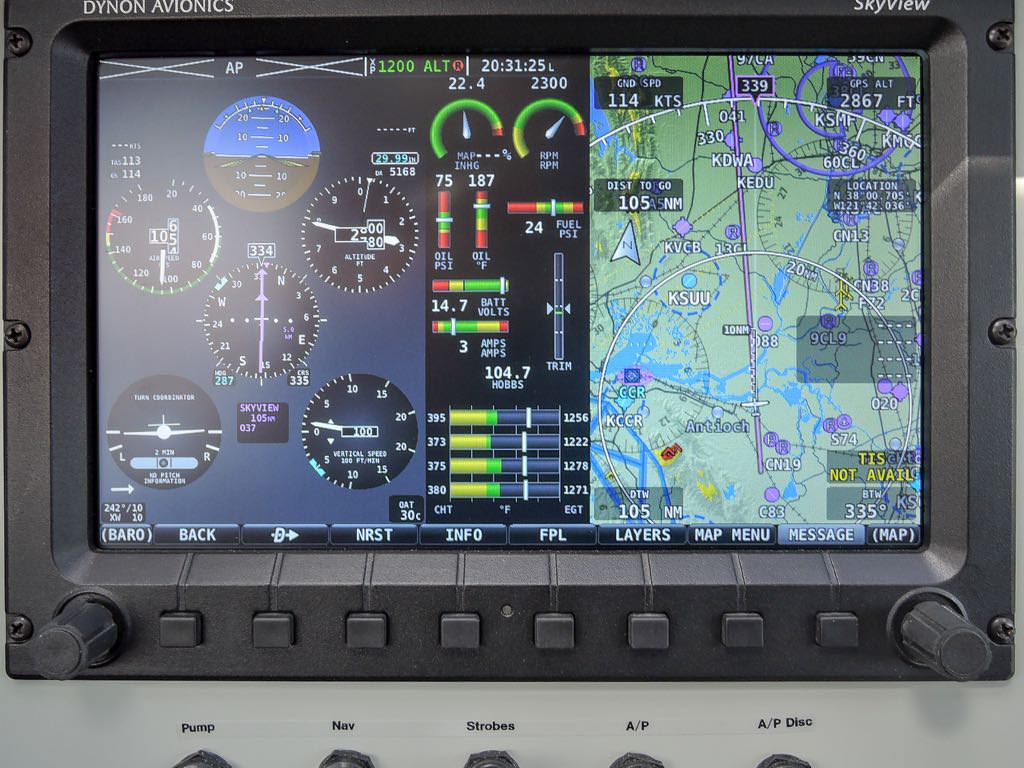
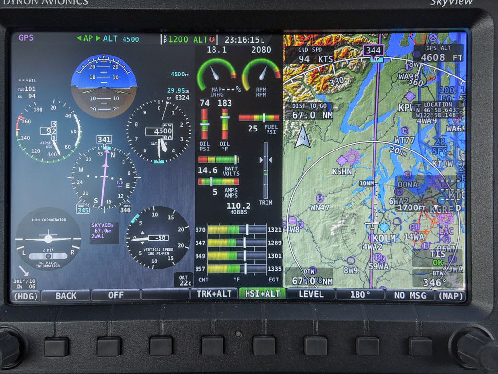
Garmin aera 510 peformed flawlessly
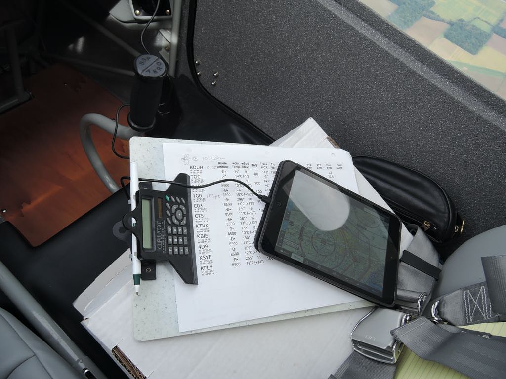
flight planning made easy with Fore Flight
adjacent to Chicago
close enough
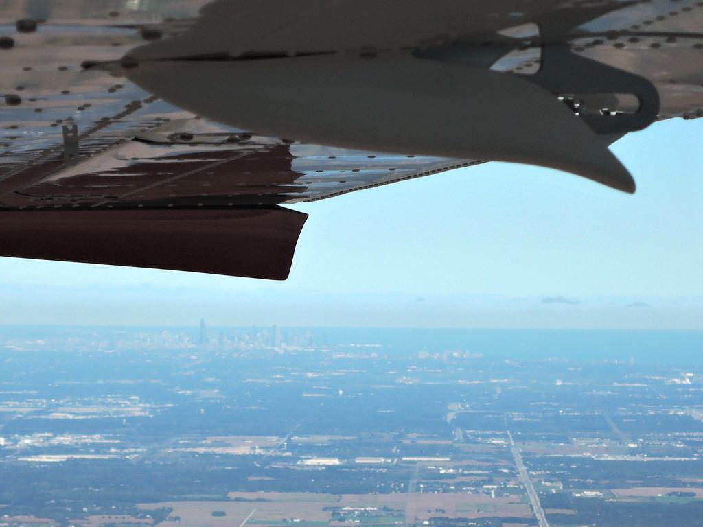
Flat Earthers' proof
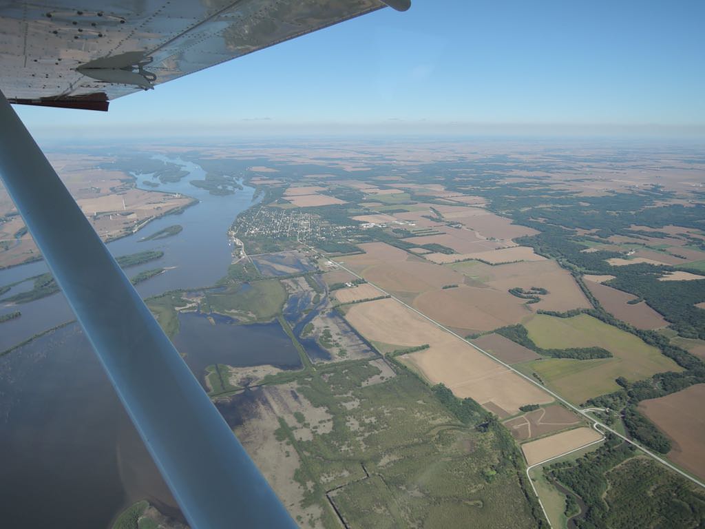
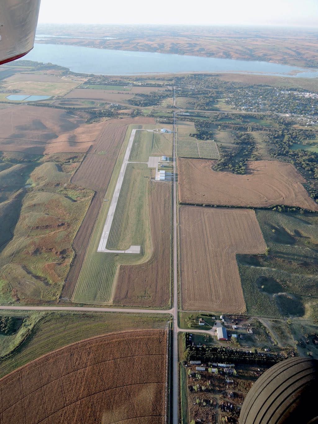
crossing the Mississippi just S of Oquawka, IL (background)
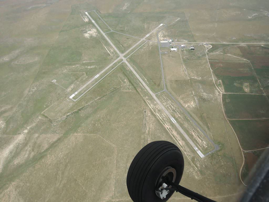
Tecumseh Muni 0G3, NE
Alma Muni 4D9, NE
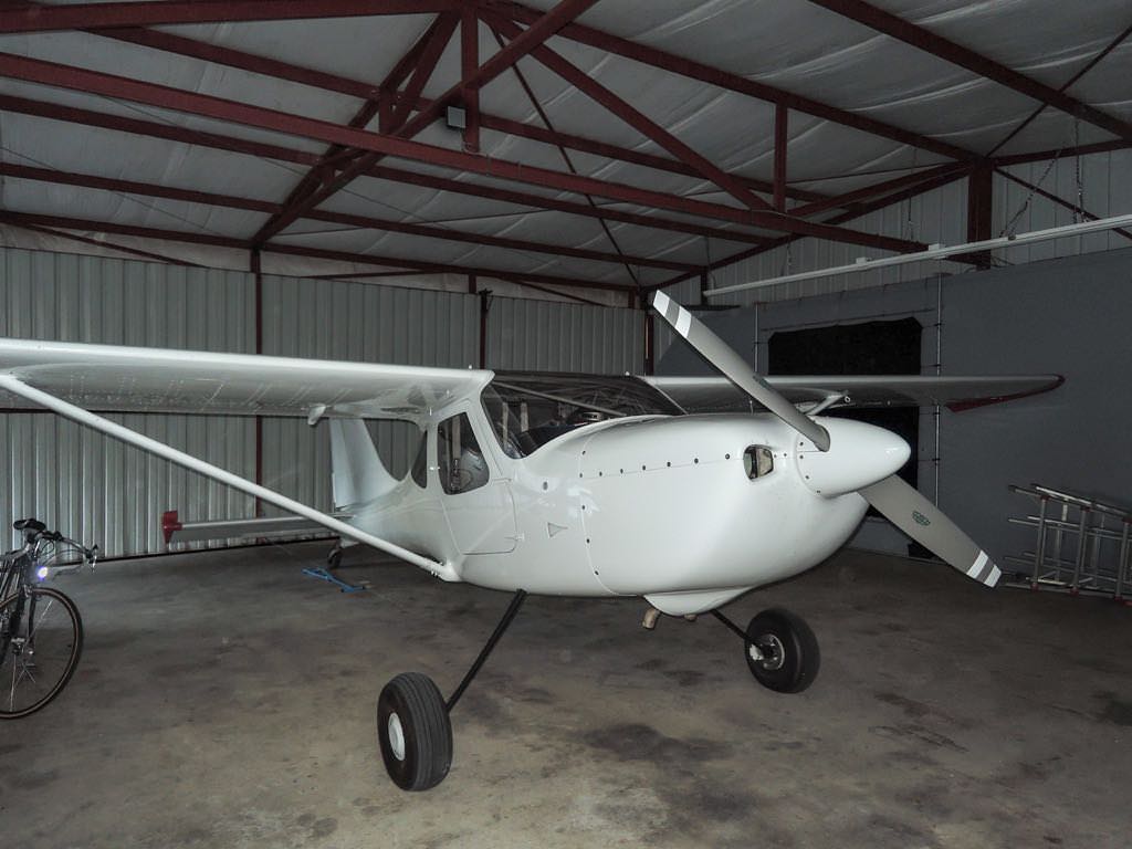
Wrapped up for the night in her Bruce's Custom Cover
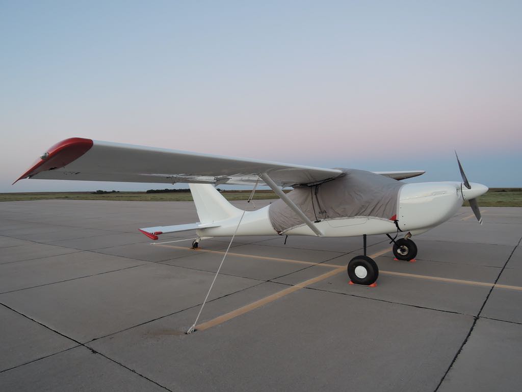
The best wrapping I could find for the night at Alma
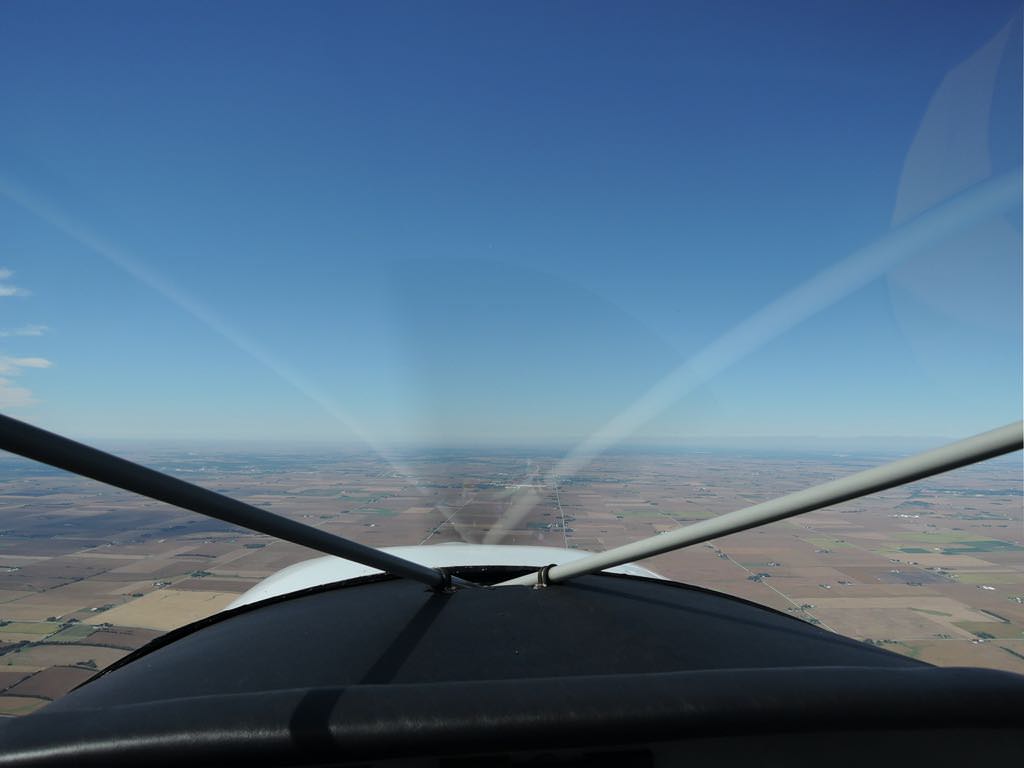
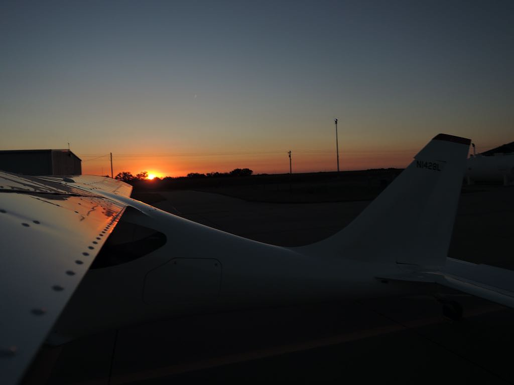
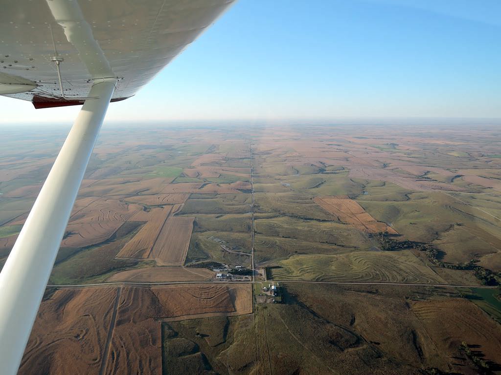
Looking east, heading west
4D9 on the edge of Alma, NE
source of political power
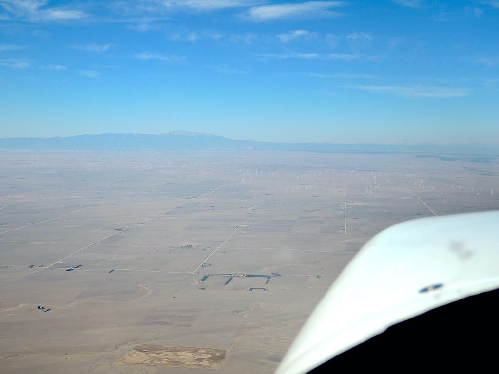
the view from 30 mn E of KFLY...
...the Rockies
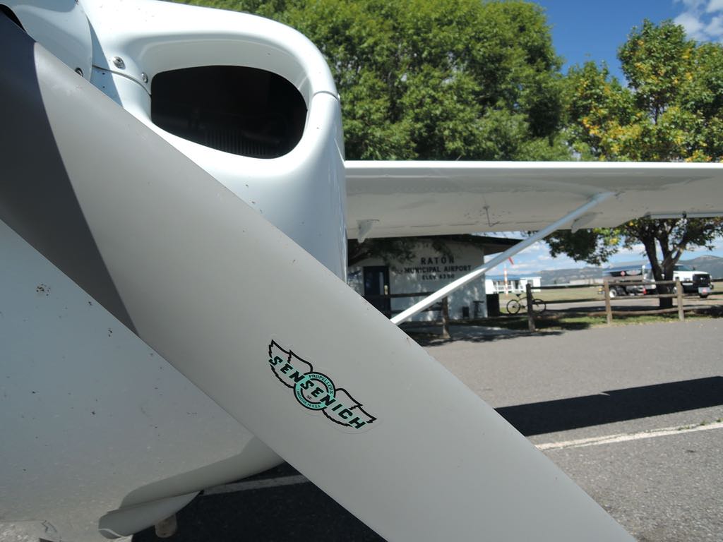
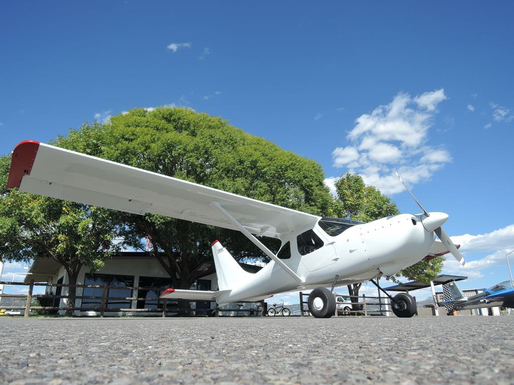
Raton Muni KRTN, NM
Maple @ 6352 ft MSL
moderate turbulence approaching Las Vegas, NM
Las Vegas KLVS
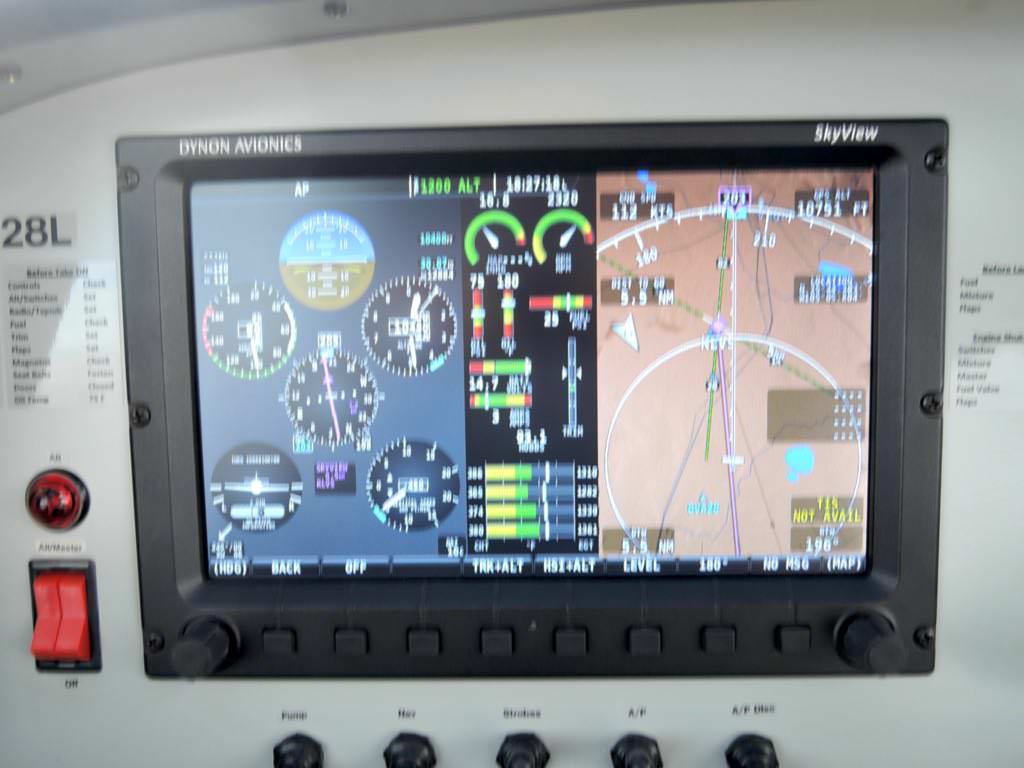
Albuquerque on screen...
...and through the screen
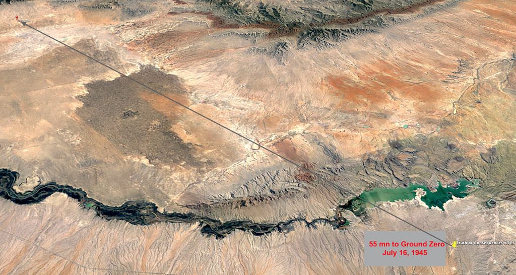
Truth or Consequences KTCS from 10,500 ft
55nm from KTCS to world's first atomic bomb detonation in 1945
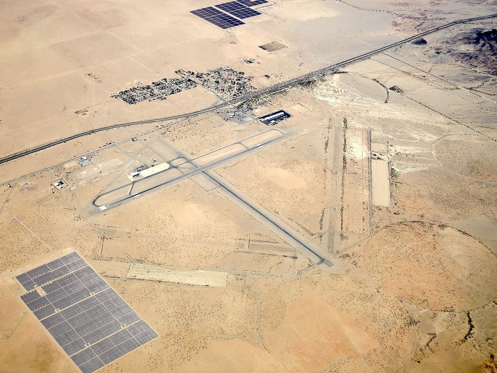
Approaching no-avgas Lordsburg KLSB, NM
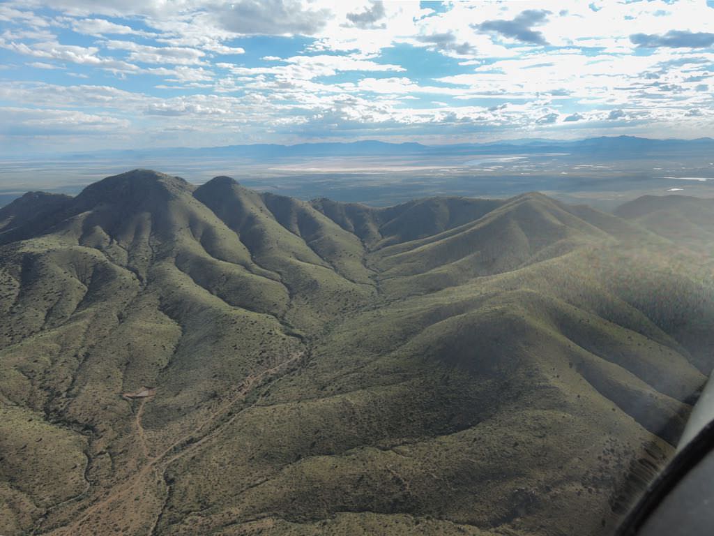
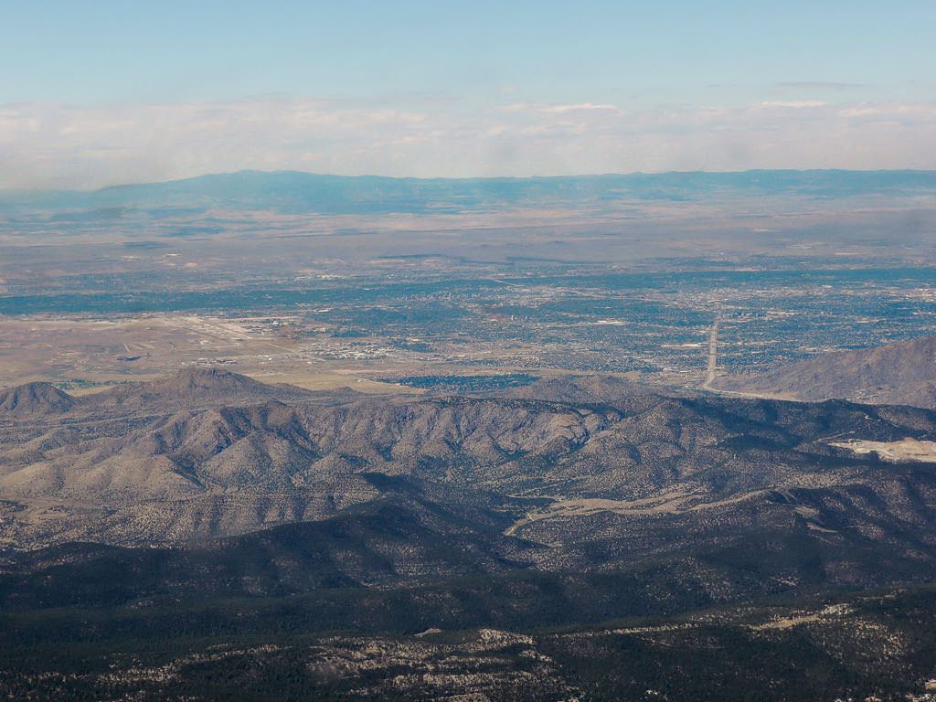
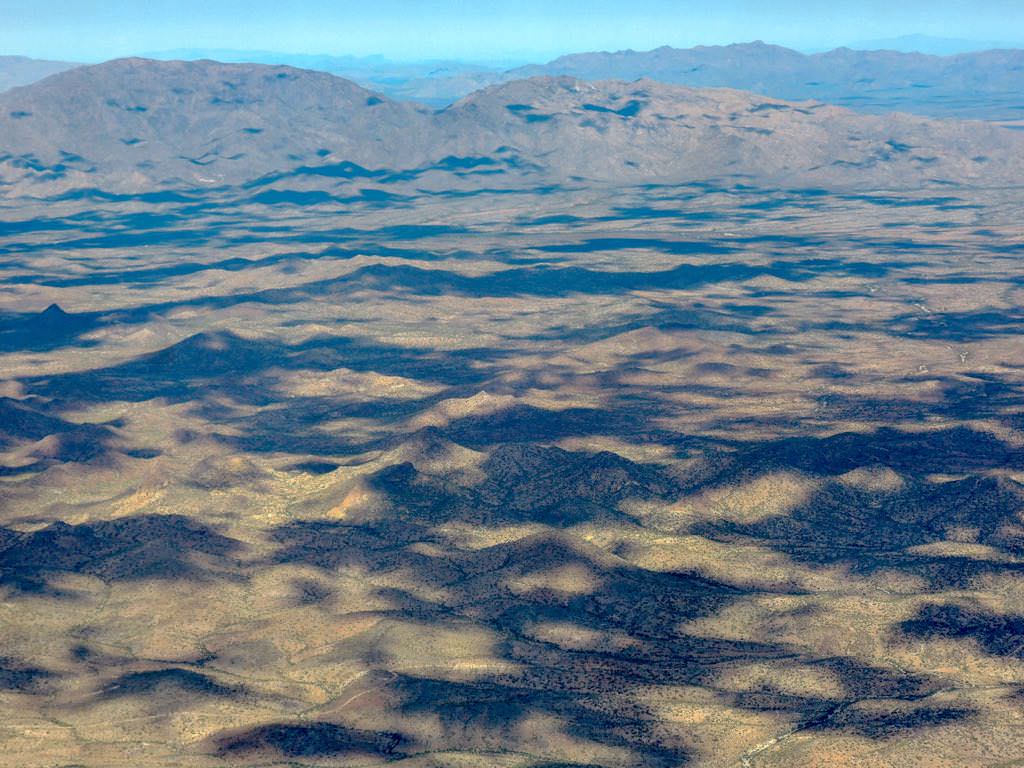
35 mn NNE of Tuscon, AZ
This is what 70% grey looks like.
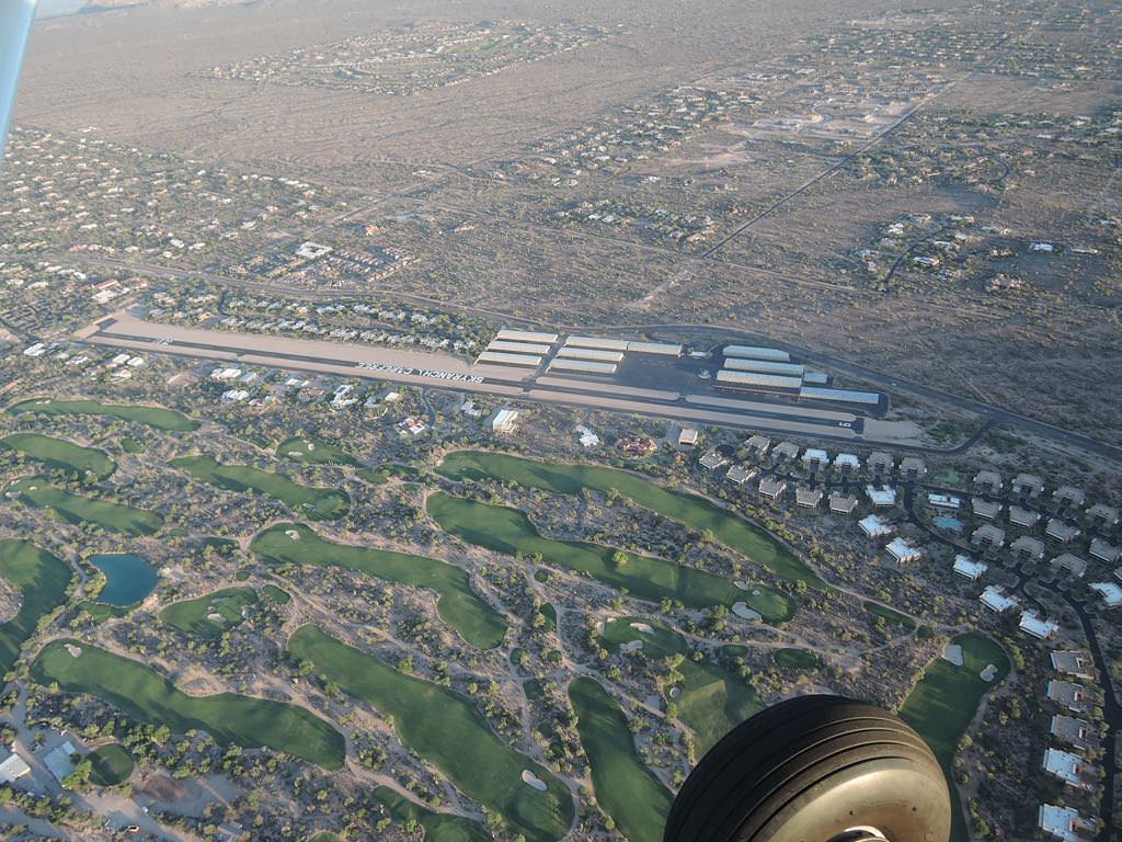
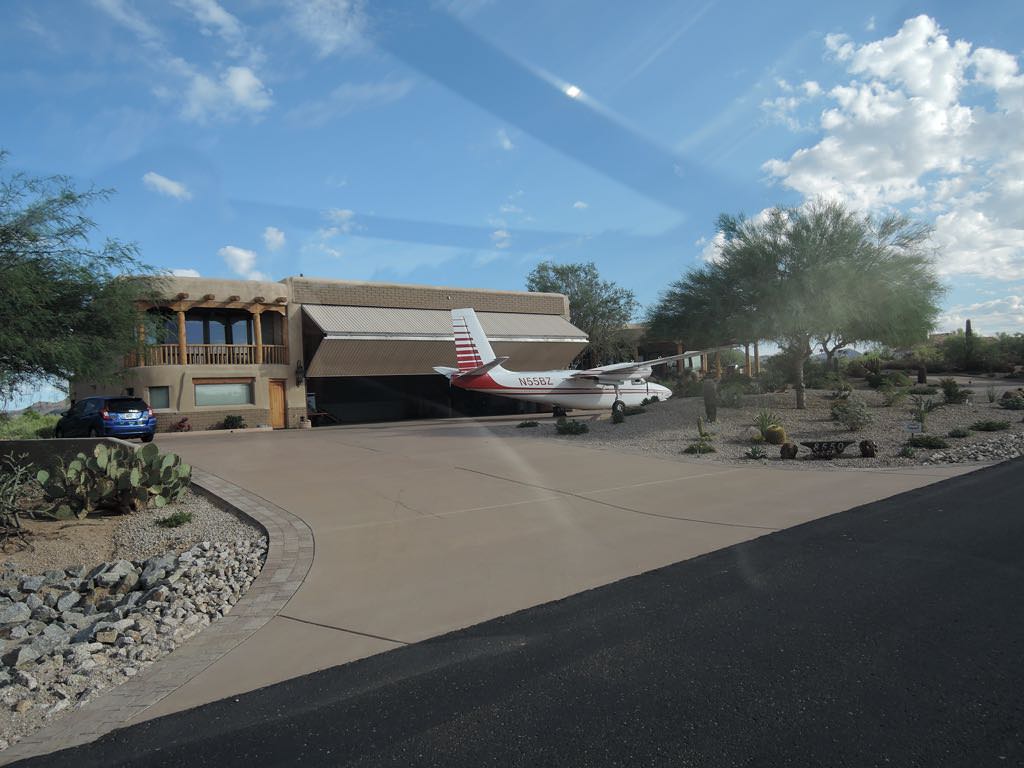
Sky Ranch 18AZ, Carefree, AZ
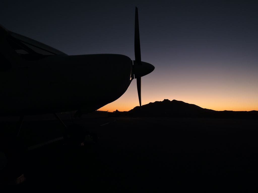
Maple against Black Mountain, Scottsdale, AZ
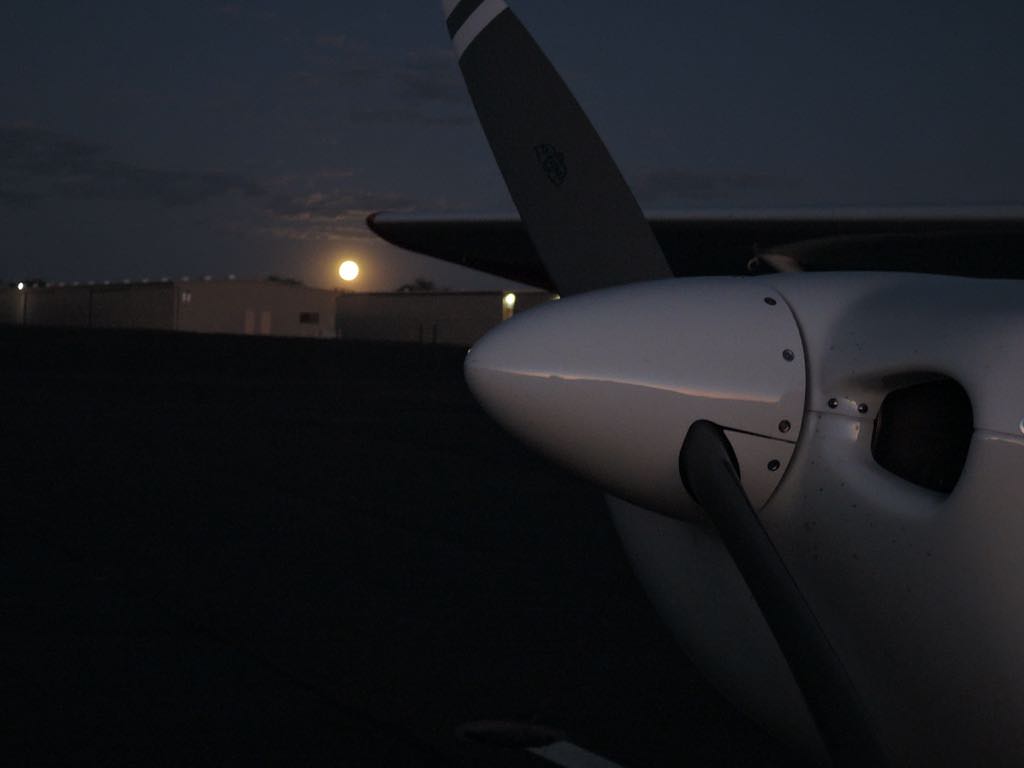
Maple at moonrise
the Carefree hoity-toity
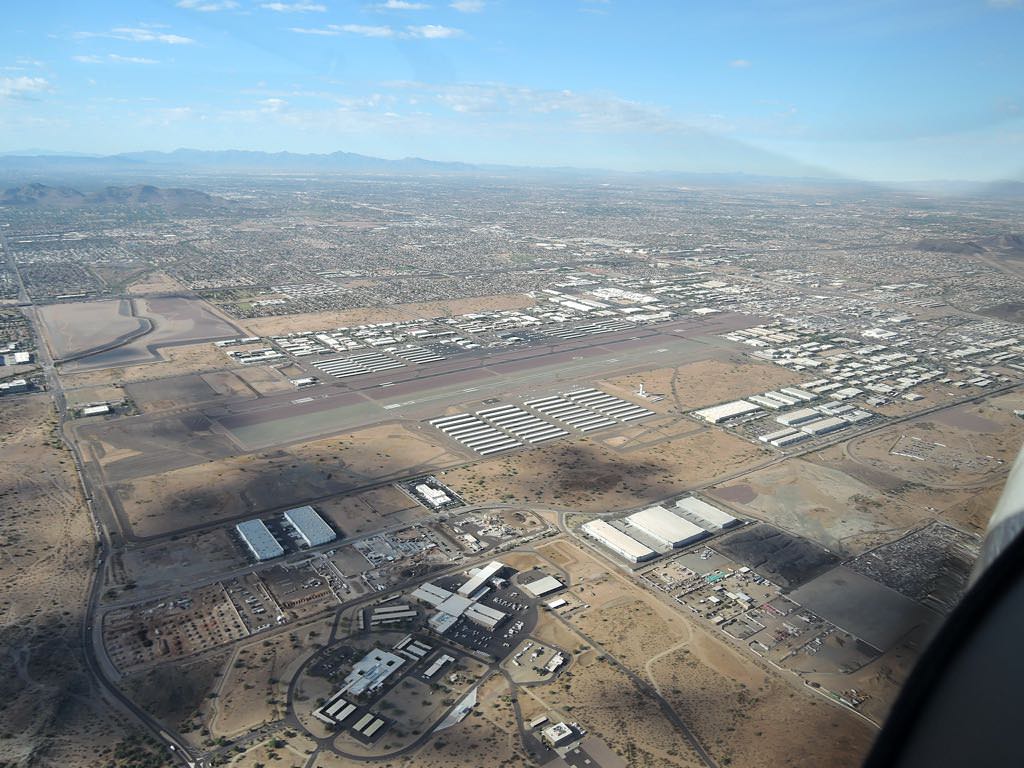
Phoenix Deer Valley KDVT
It's come a long way since May 27, 1974.
Renoir would be inspired.
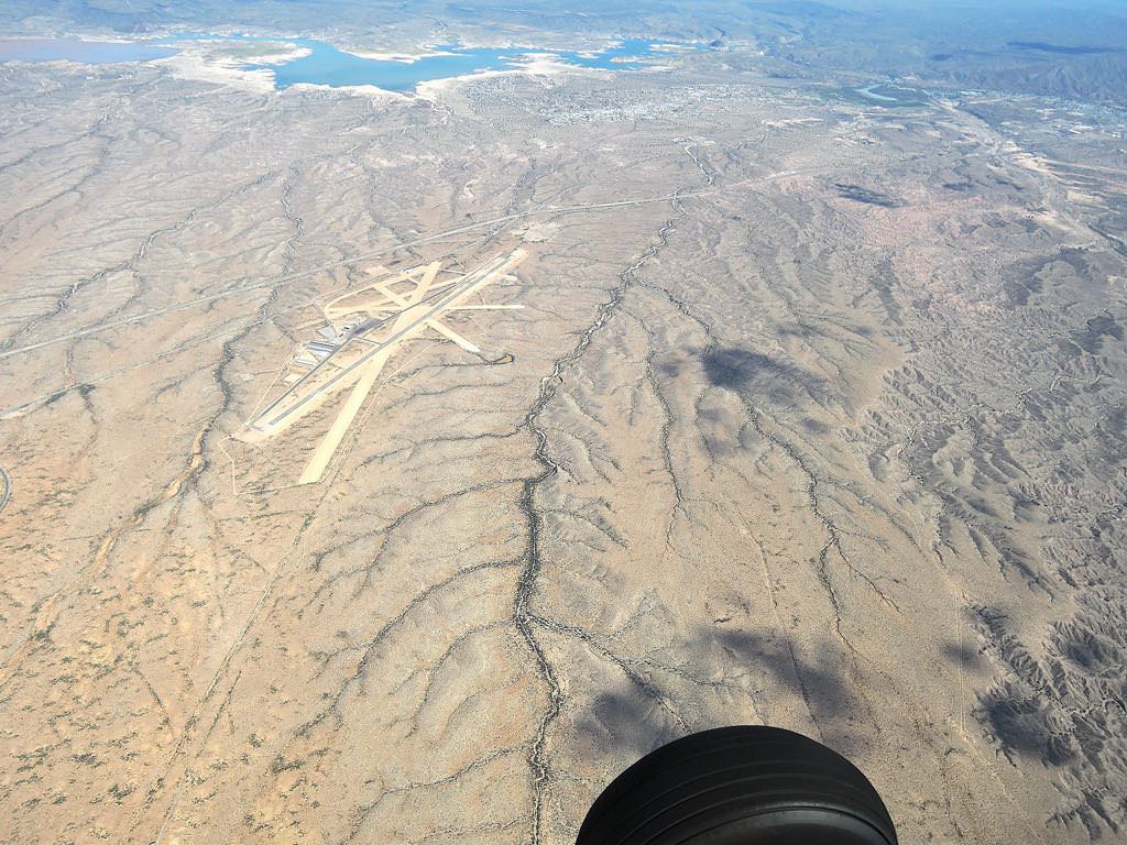
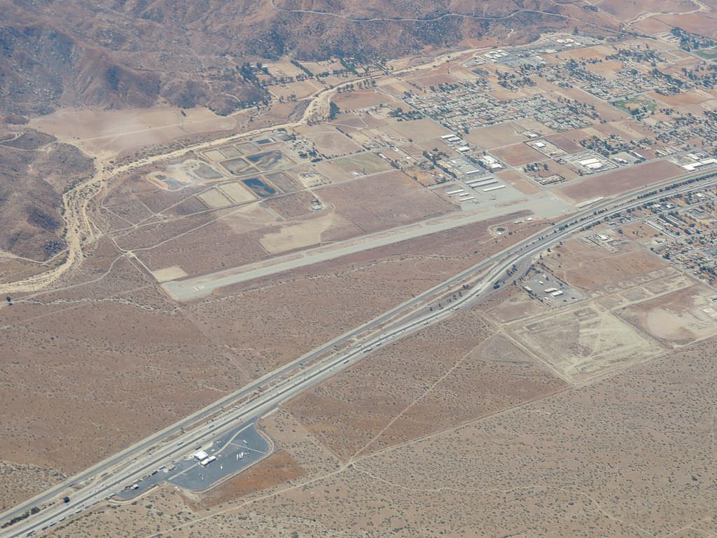
Blythe KBLH, CA
Maple turns 100
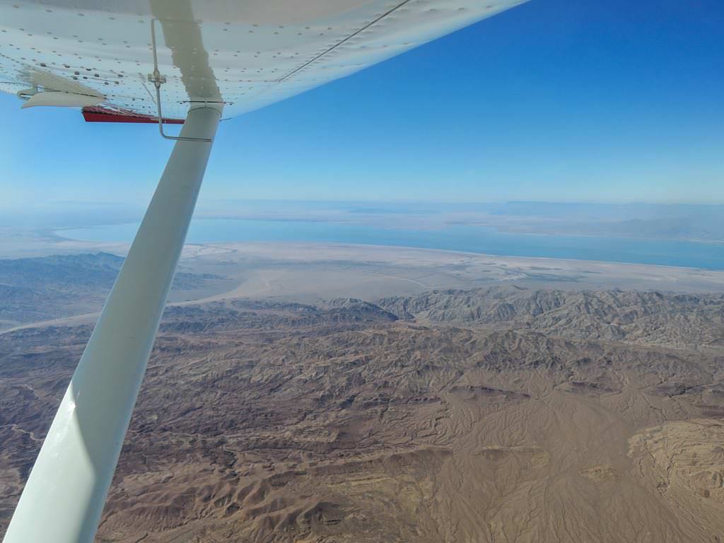
Salton Sea, CA
Palm Springs KPSP, CA
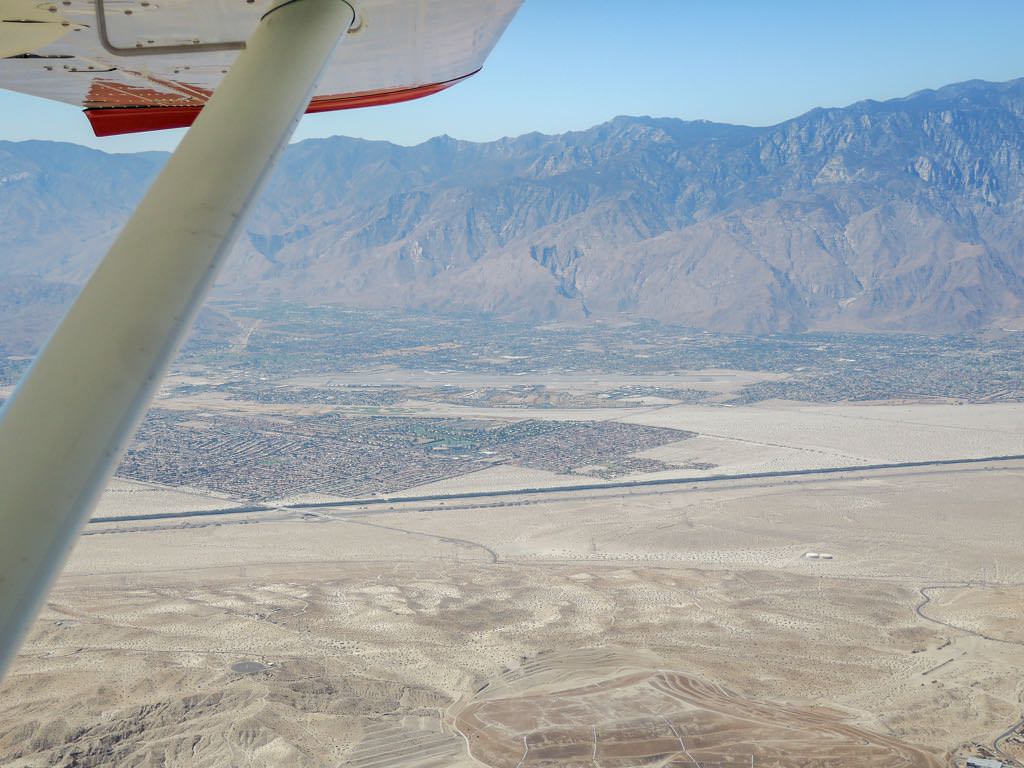
Banning Muni KBNG, CA
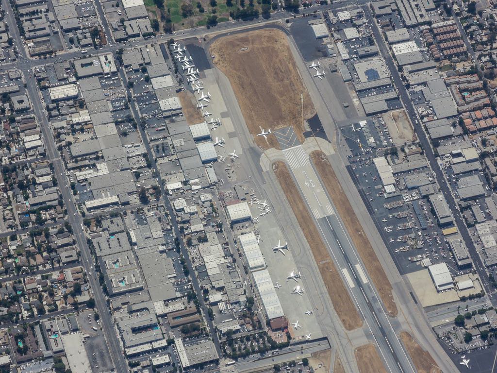
S half of Van Nuys Airport KVNY, CA
Santa Paula KSZP, CA
This...
...is what it looks like out the window.
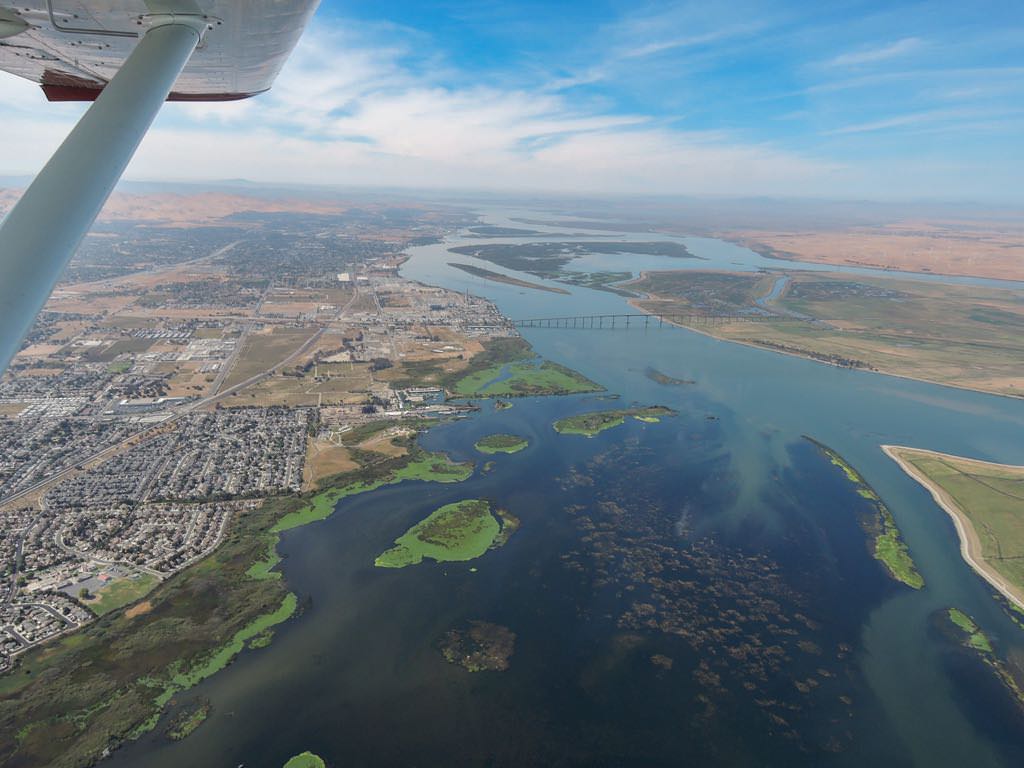
N San Juaquin Valley, CA
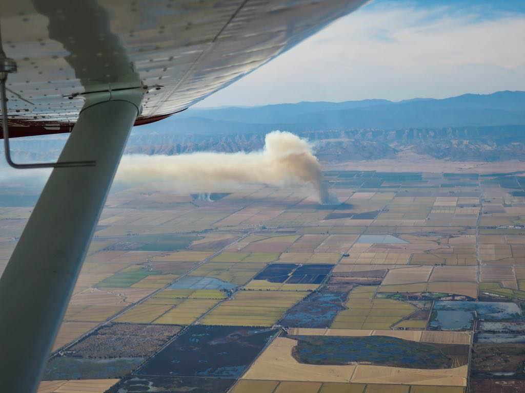
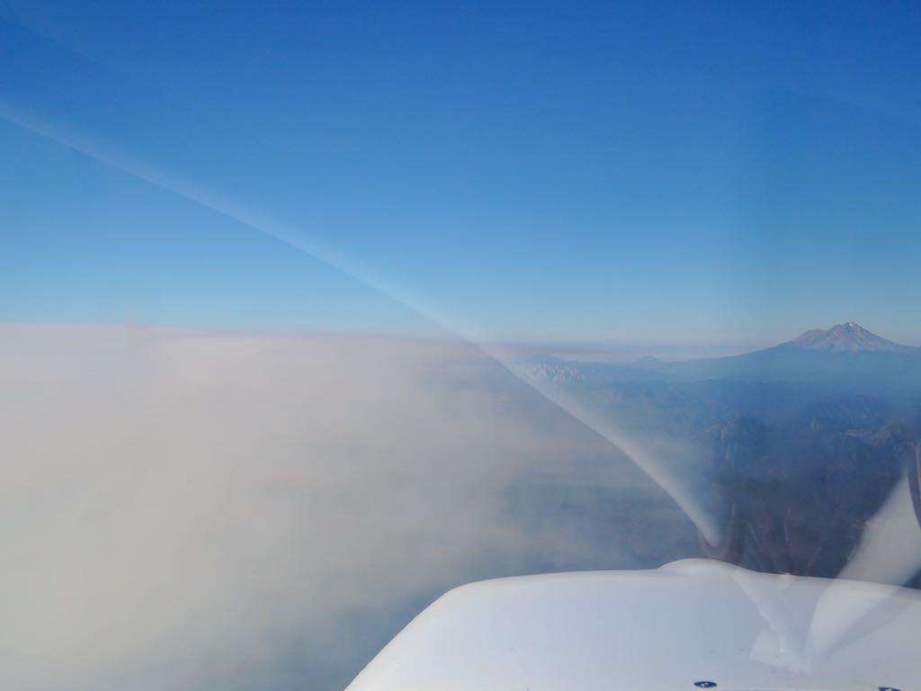
through the smoke, Lake Shasta, CA
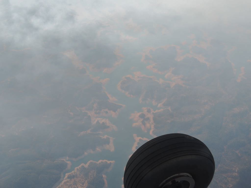
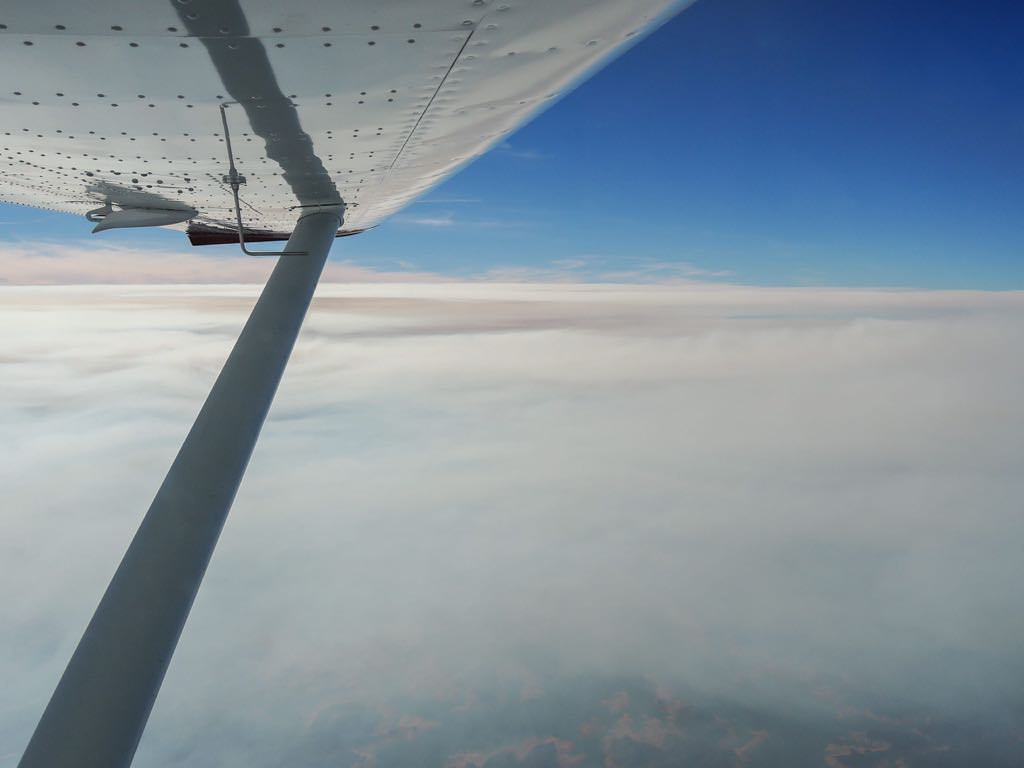
smokin' while VFR on top
smoke ends at CA-OR border
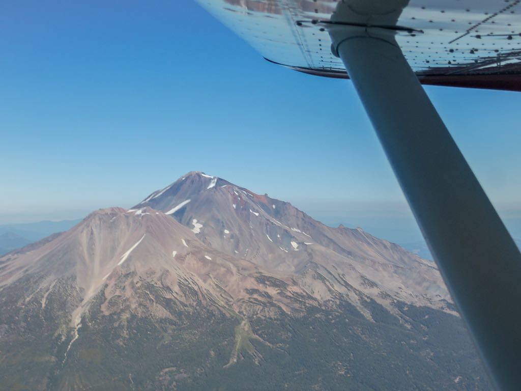
it hasta be Shasta
Roseburg KRBG, OR
McMinnville KMMV, OR
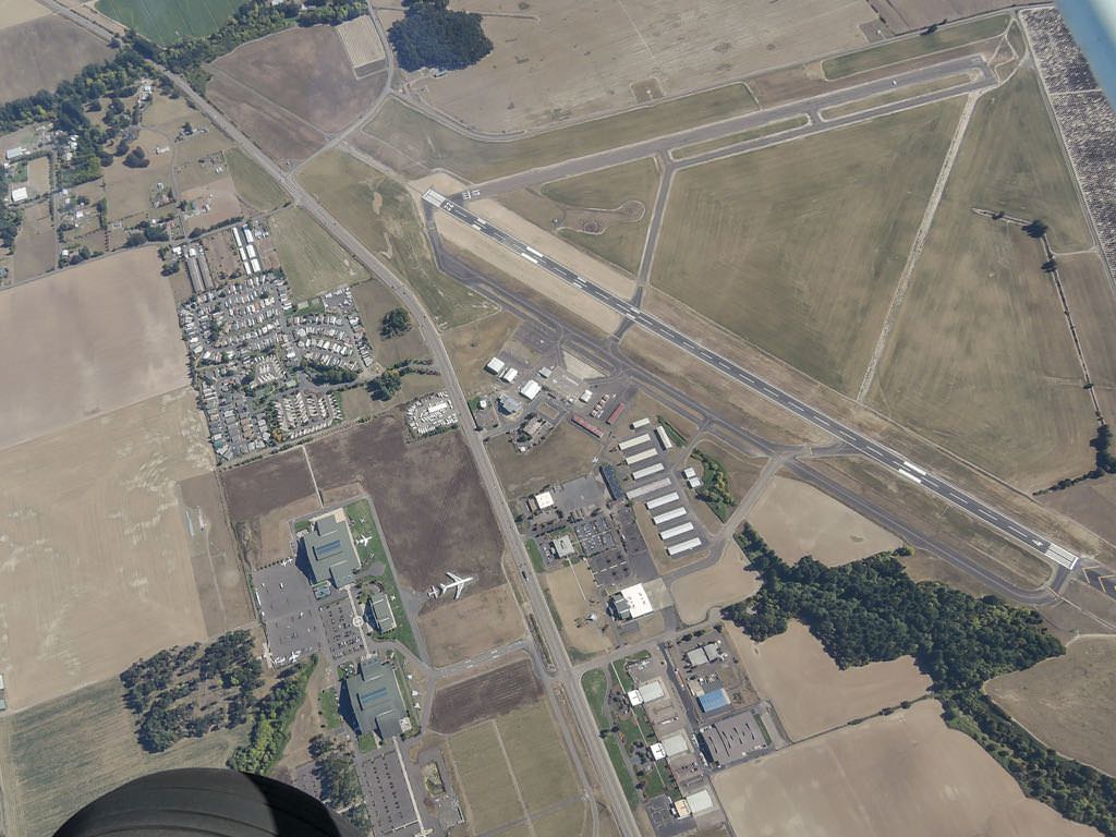
Chehalis-Centralia KCLS, WA
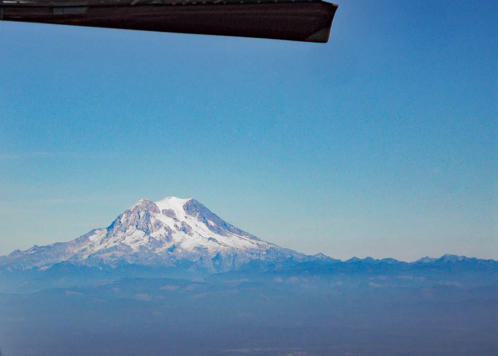
Mt. Rainier, WA
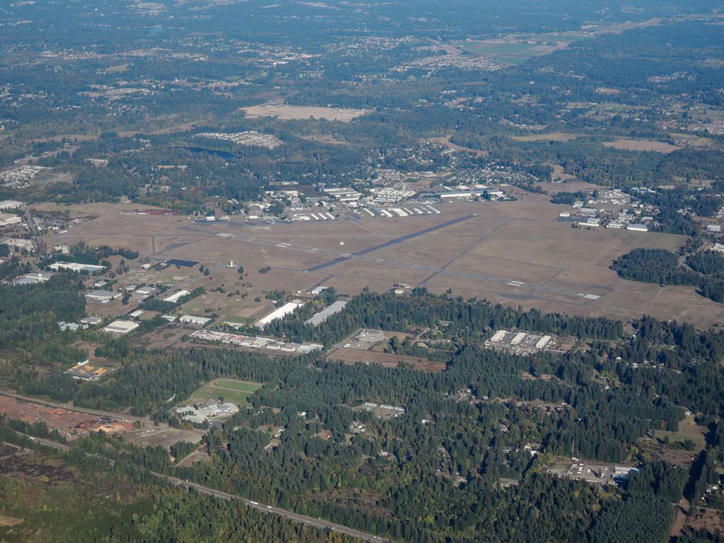
Olympia KOLM, WA
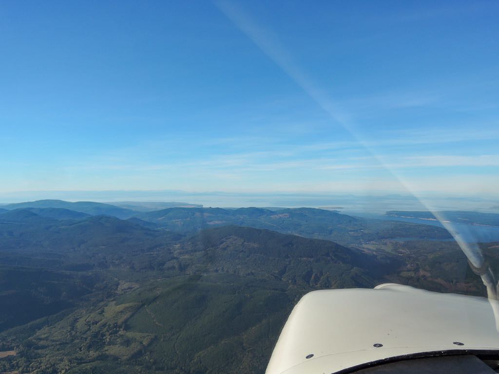
moving N into Puget Sound, SSW of Seattle
Seattle and to its right, Boeing Field KBFI
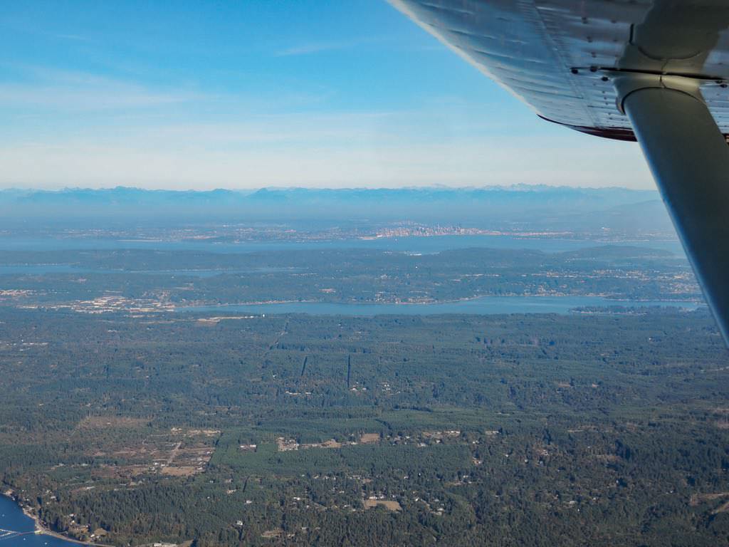
Vancouver Island, distant left background
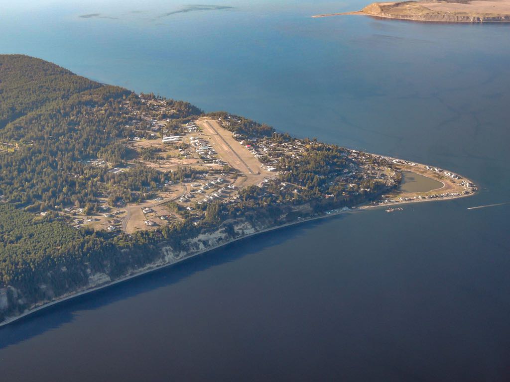
Diamond Point Airport 2WA1, Protection Island (background)
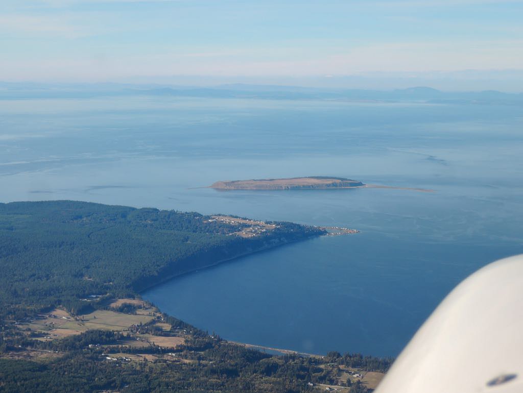
Diamond Point Airport 2WA1, Sequim, WA
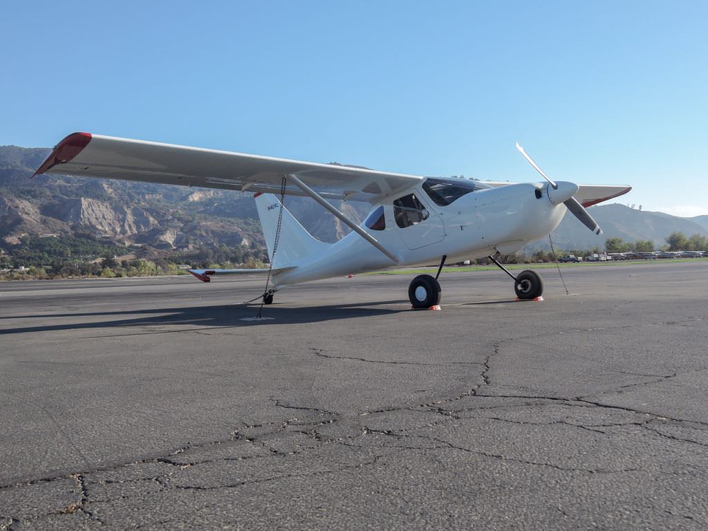
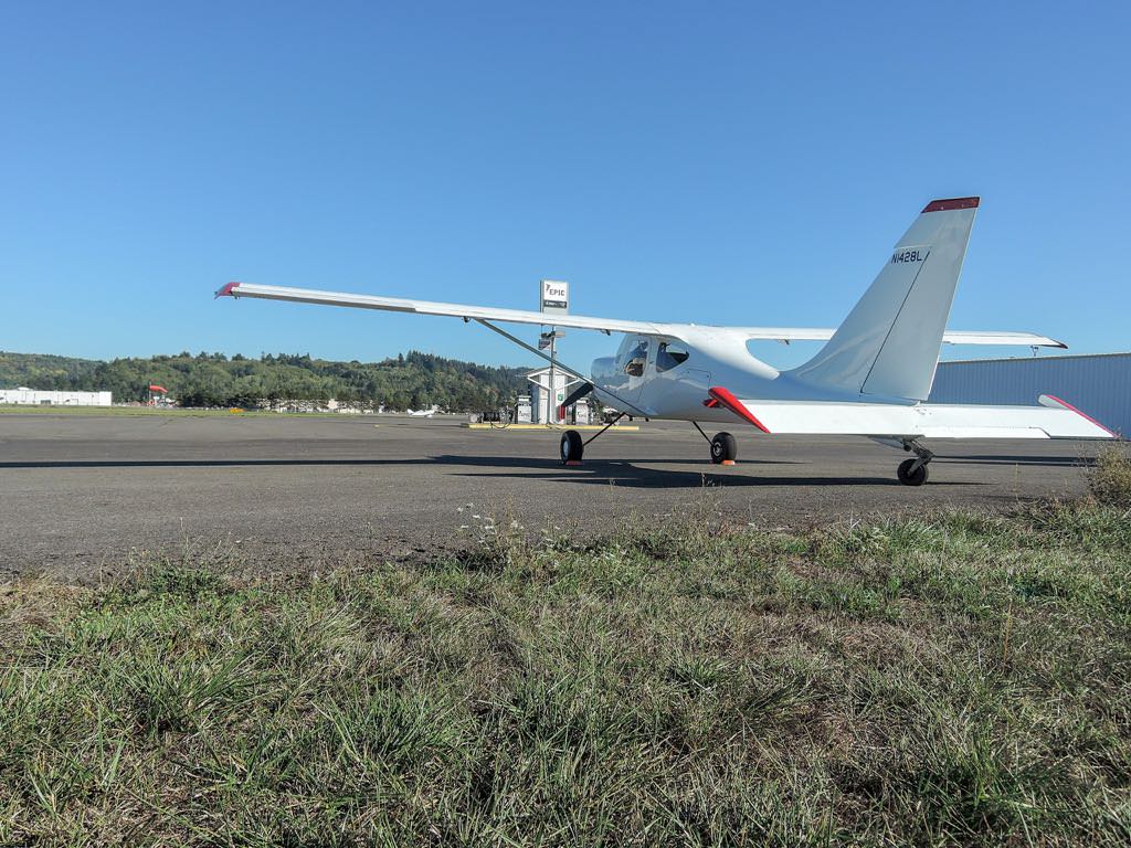
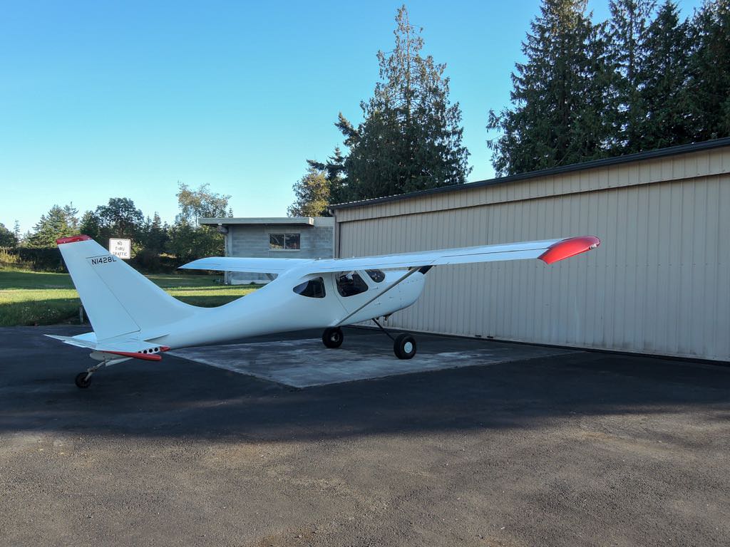
home at last
page_bottom