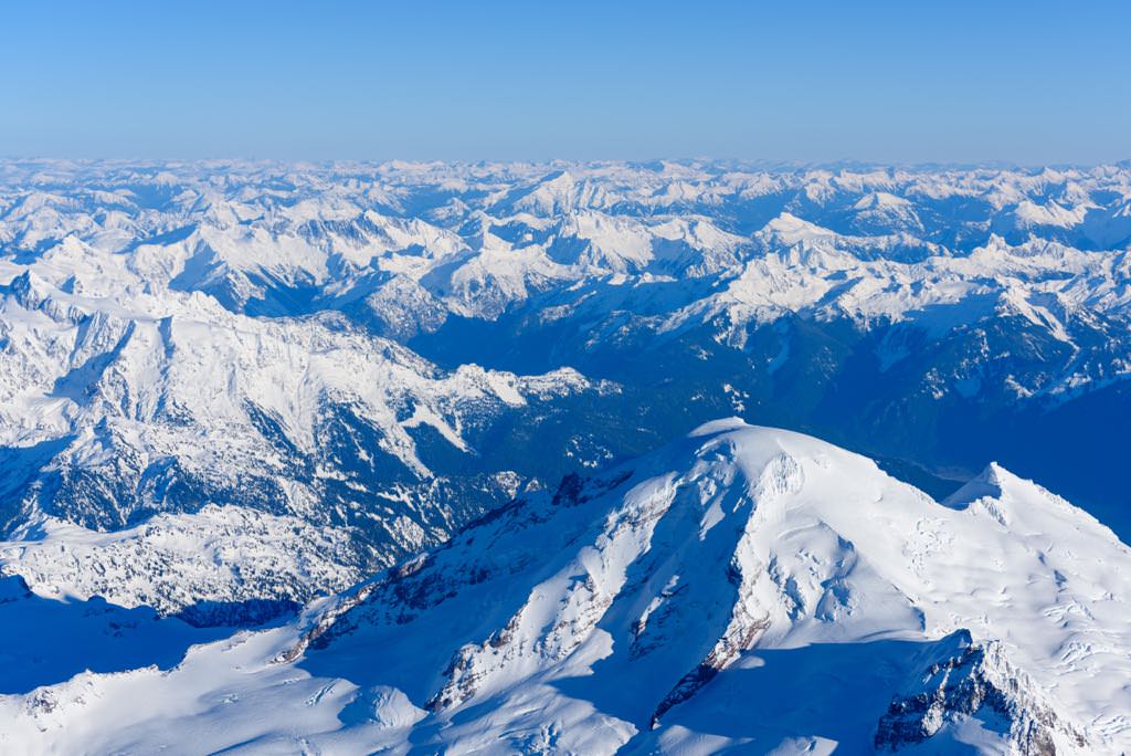
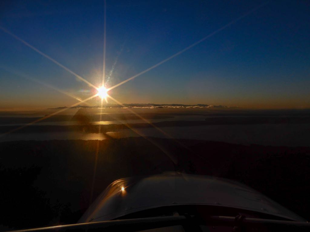
Tour around Mount Baker, Washington State
January 22, 2021
The day started with a flight from Diamond Point Airport (2WA1) with a stop at Arlington Airport (AWO) for fuel. Sometimes avgas is available at nearby Jeffco (Jefferson County International 0S9), but those folks are particularly proud of their prices, thus the run to AWO.
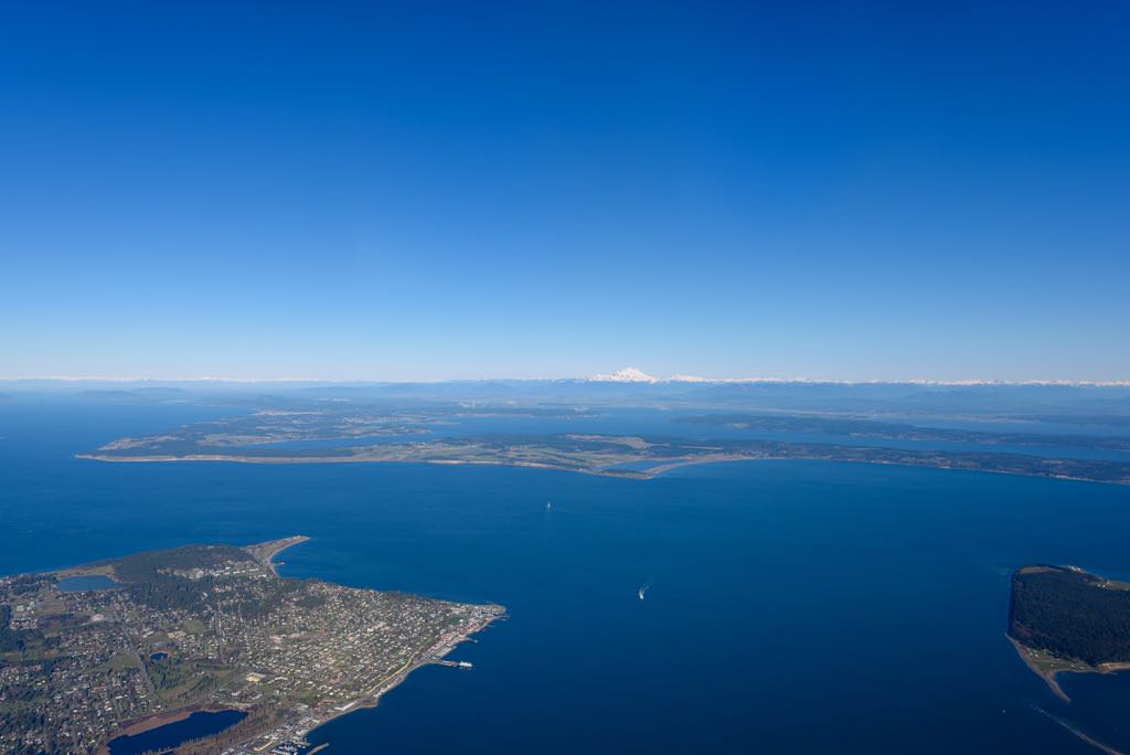
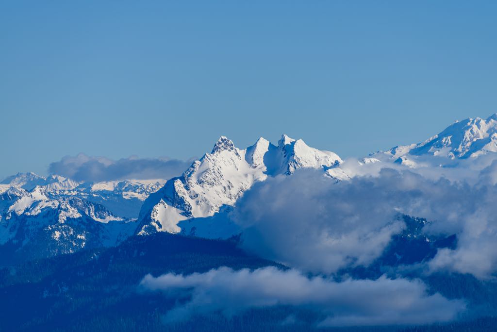
Port Townsend, WA lower left, with Mount Baker 61nm distant, center
For this flight I flew counterclockwise around Mt. Baker, departing from Arlington Airport (AWO). My route took me northeast to just east of Concrete Muni (3W5), then northeasterly over Baker Lake. Though I'd planned to fly northbound just east of Mt. Shuksan then loop westward, I actually flew between Mt. Baker and Mt. Shuksan to get a closer view of Mt. Baker.
Once over the North Fork Nooksack River, I turned westward, flying about four miles south of and parallel to the US border, then turned southwest toward Sedro Wolley and AWO.
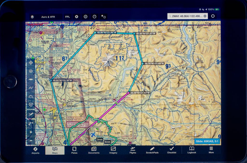
Actual route of flight was somewhat closer to Mt. Baker than planned.
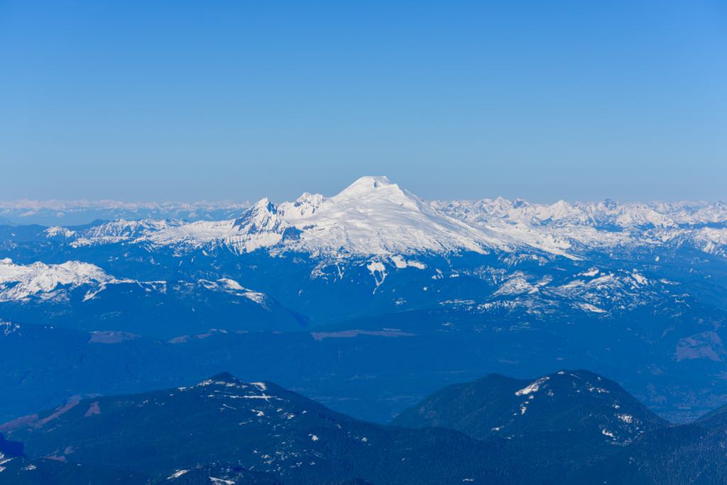
A telephoto lens pulled Mt. Baker in closer, but I was still several thousand feet below the peak.
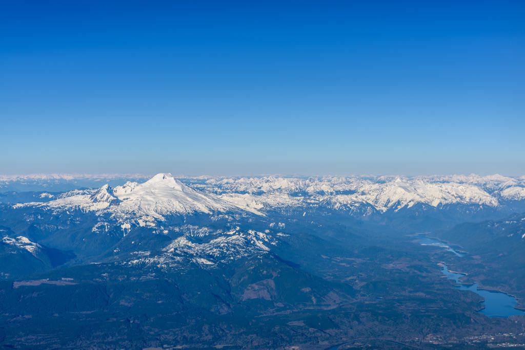
Almost at Mt. Baker's peak altitude. Baker Lake, lower right.
Clearly in view is Black Buttes, which is the arc-shaped ridge of craggy peaks just to the left of Mt. Baker's peak. These peaks are the remnant of a large stratovolcano that "stood in approximately the same location as Mount Baker, only higher. Its amphitheater shape was formed as glaciers carved out the altered core of the old volcano, while leaving the outer part of the edifice in place" (USGS, n.d.).
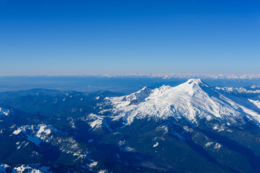
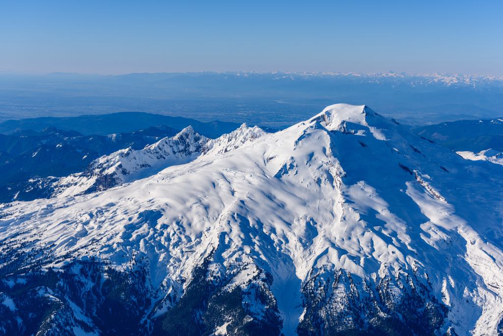
Close-up of the Black Buttes amiphitheatre, now occupied by the Deming Glacier (USGS, n.d.).
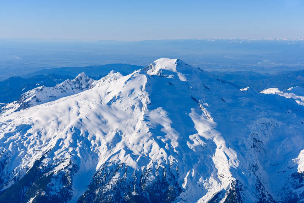
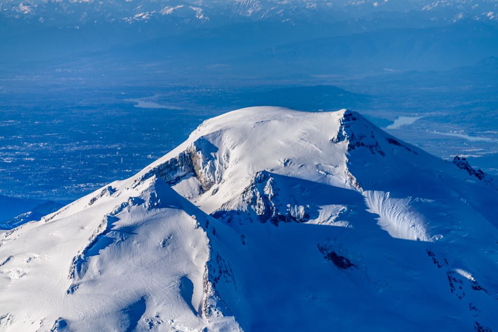
Mt. Baker's summit, 3,286 m / 10,781 ft. Abbottsford and Aldergrove, BC, left background
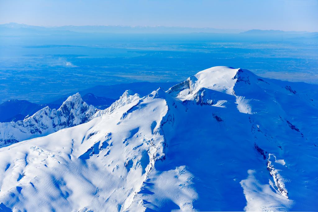
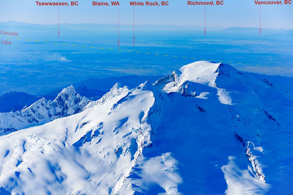
View from Mt. Baker: the 49th parallel
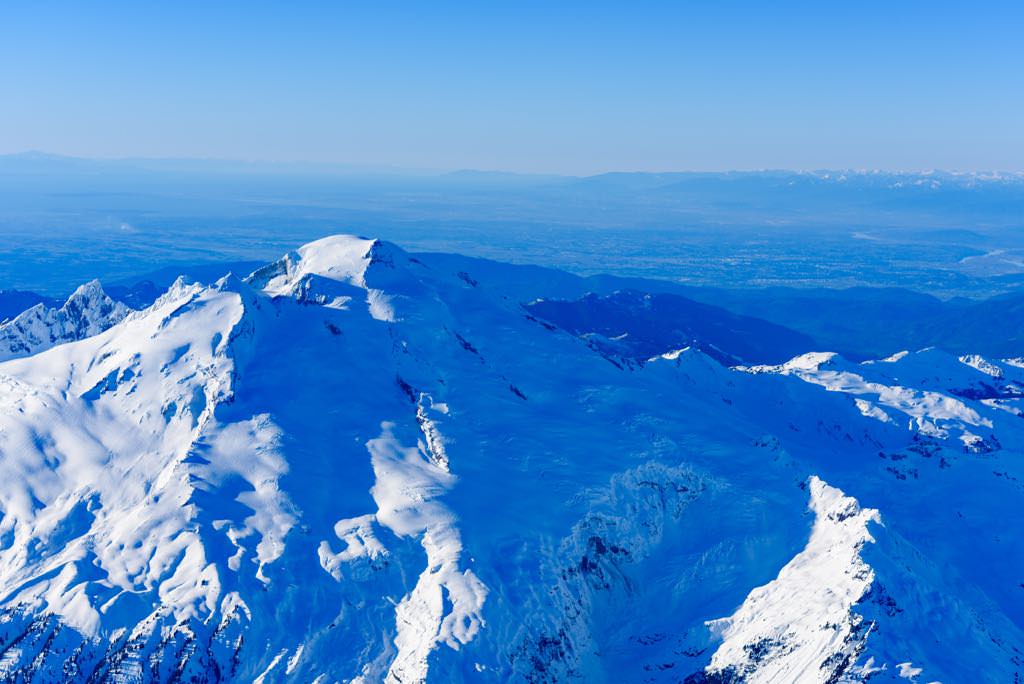
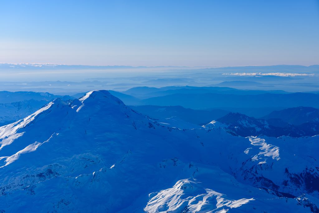
Looking west beyond Mt. Baker toward the San Juan Islands
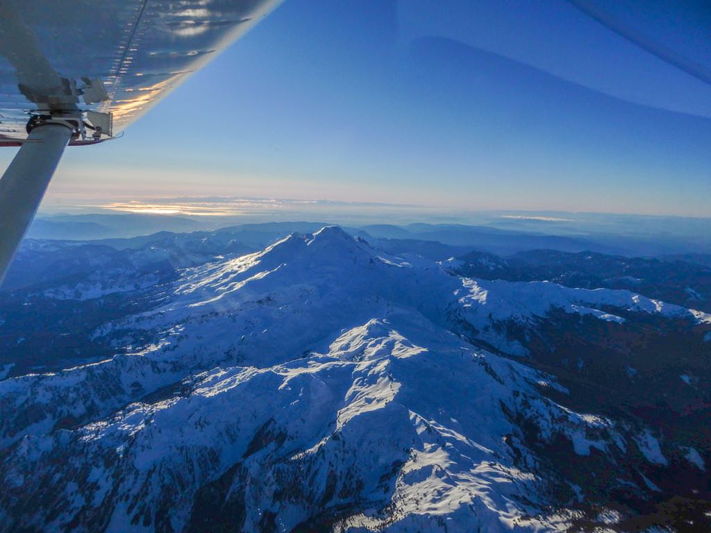
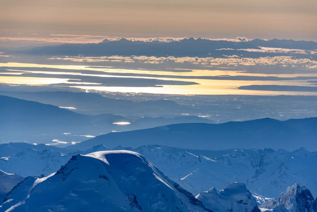
Beyond the summit lies Skagit Valley (centre), and the Olympic Mountains (background)
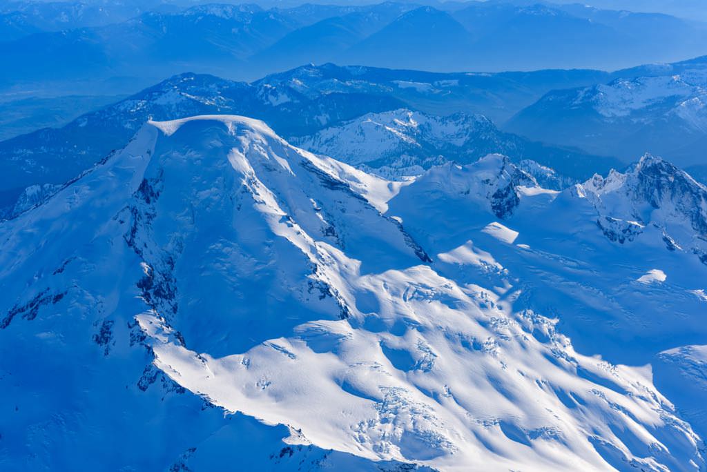
Looking east-south east past the summit.
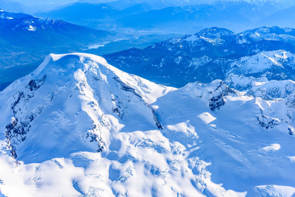
My favourite shot of Mt. Baker
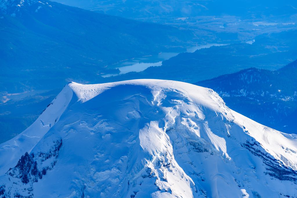
Mt. Baker's summit; Black Buttes, right; Baker Lake, background
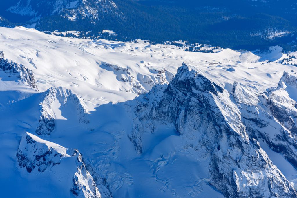
Looking back at Black Buttes
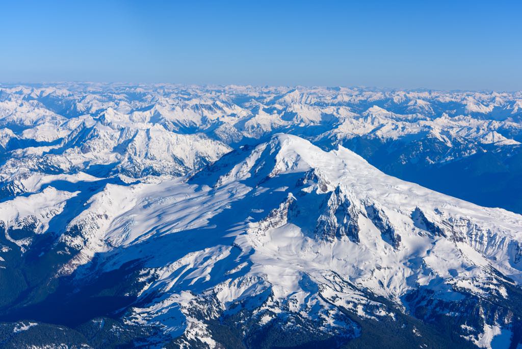
View of the Cascades to the east
